See it in PondTools
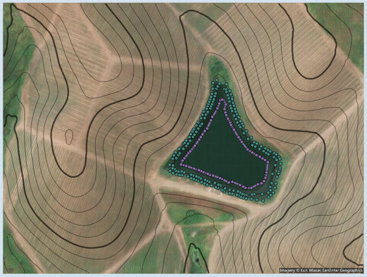
Start with the pond on the map.
Find the site.
Search for the property and frame the pond on satellite imagery. Capture the view with its scale so the shoreline and the surrounding land share the same workspace.
Trace the water automatically.
Use water detection to pick out the pond’s boundary. Review the outline, move points around the shoreline and include the coves and irregular edges that a length-times-width estimate leaves out.
Bring in the terrain.
Import USGS LiDAR terrain for the selected site. Review ground elevations and contour lines around the pond, then add pond depths to calculate the water volume.
Treatment quantities & spending
Work out the amount before you buy.
Use the mapped area and pond volume to work out how much treatment to buy. Compare the calculated amount with your supplier’s pack sizes and prices before placing the order.
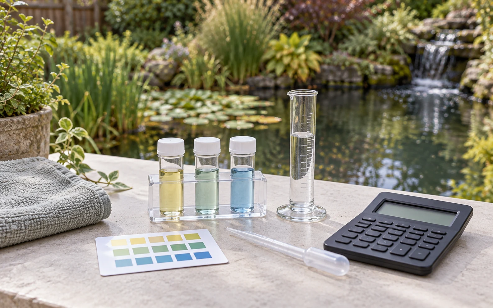
Calculate lime from pond area and application rate. Use your jar-test results, pond area and average depth to calculate alum or gypsum for muddy water. The fertilization tool works out product amounts for the pond area.
Save the pond measurements and use them for the next treatment calculation. If you revise the mapped area or depth, recalculate the amount before buying more product.
- Liming
- Area and application rate.
- Muddy-water treatment
- Alum and gypsum quantities.
- Fertilization
- Product amounts for the pond area.
The shape beneath the surface
Calculate volume from the shape and depth.
Trace the waterline, add depth contours and set the shelf or slope between them. Include the shallow margins and deeper areas to calculate how much water the pond holds.
Check the dimensions and calculated volume as you refine the pond. Open Studio to inspect the basin in 3D and see how the contours describe its shape. Use your field depth measurements to update the plan when you return to the site.
Work with acres, gallons and acre-feet as needed. The project keeps its physical scale, and each management calculator asks for the area or depth inputs used in that calculation.
Work with pond volume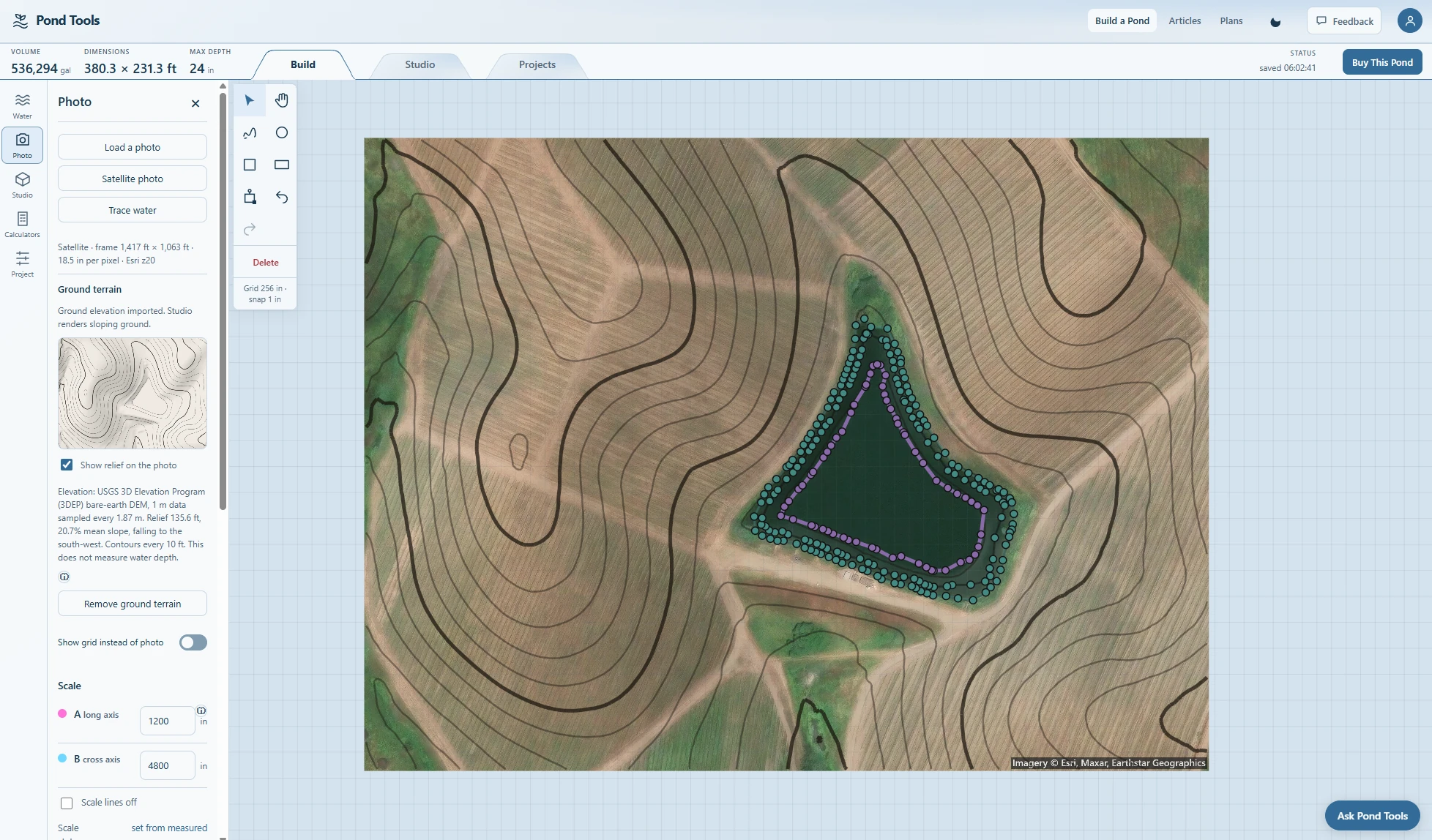
Manage the pond over time
Plan aeration, stocking and feeding.
Use the same site plan when you consider aeration, stocking and feeding. Work through the pond-aeration calculator, compare a stocking plan and check the feed required for the fish you intend to keep.
Enter your price per bag in the feeding calculator to check monthly feed cost. Use the carrying-capacity and harvest tools to plan fish production and removal.
Save a project for each pond with its outline, terrain and depths. Attach customer details when you manage someone else’s property so you can find the right plan at the next visit.
Plan pond aeration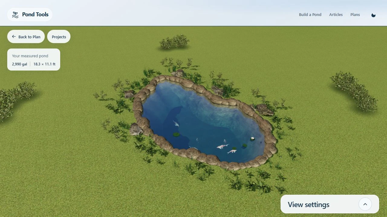
Pond management calculators.
Planning your pond
How do satellite imagery and LiDAR work together?
The satellite image gives you the visible site and waterline. Water detection creates an editable shoreline, while USGS LiDAR provides ground terrain for the selected area. Add the pond’s depths to build the basin and calculate water volume.
Can I adjust the automatically traced boundary?
Yes. The detected shoreline becomes an editable pond outline. Move, add or remove points and shape the boundary around the features visible in your image, then save the revised plan.
Where do I start with a treatment calculation?
Start with the pond’s measured area, its depth or volume, and the inputs requested by the treatment tool. Choose liming, muddy-water treatment or fertilization to calculate the product quantity for that task.