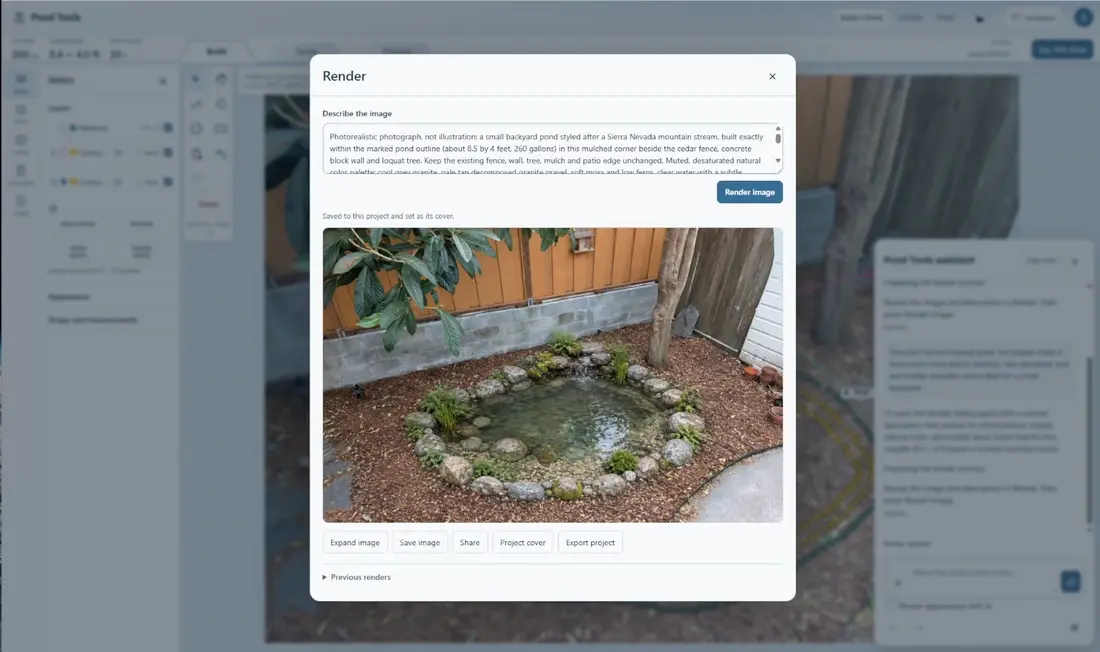
From Backyard Photo to Pond Design
Draw a pond over a backyard photo, then generate an AI image of the proposed pond and surroundings in Pond Tools.
0:29Draw a pond over a backyard photo, then generate an AI image of the proposed pond and surroundings in Pond Tools.
0:29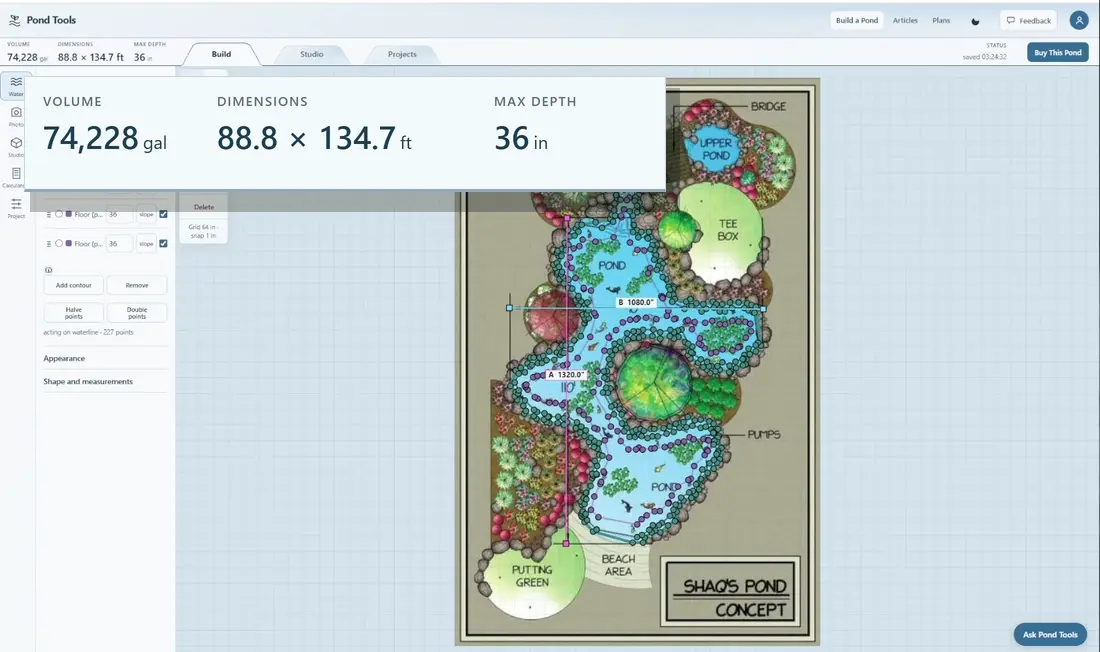
Trace a pond sketch, set its scale and depths, and see estimated volume and dimensions in Pond Tools. The recording enlarges the measurements for readability.
0:27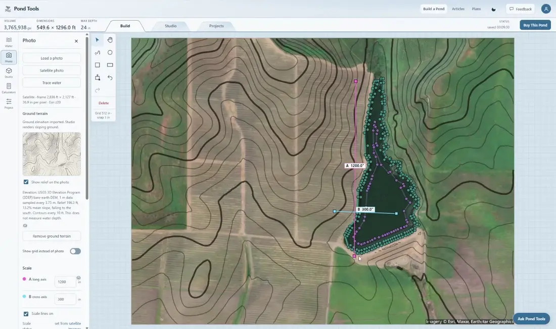
Find a pond on satellite imagery, import available LiDAR terrain and review a detected water outline in Pond Tools.
0:17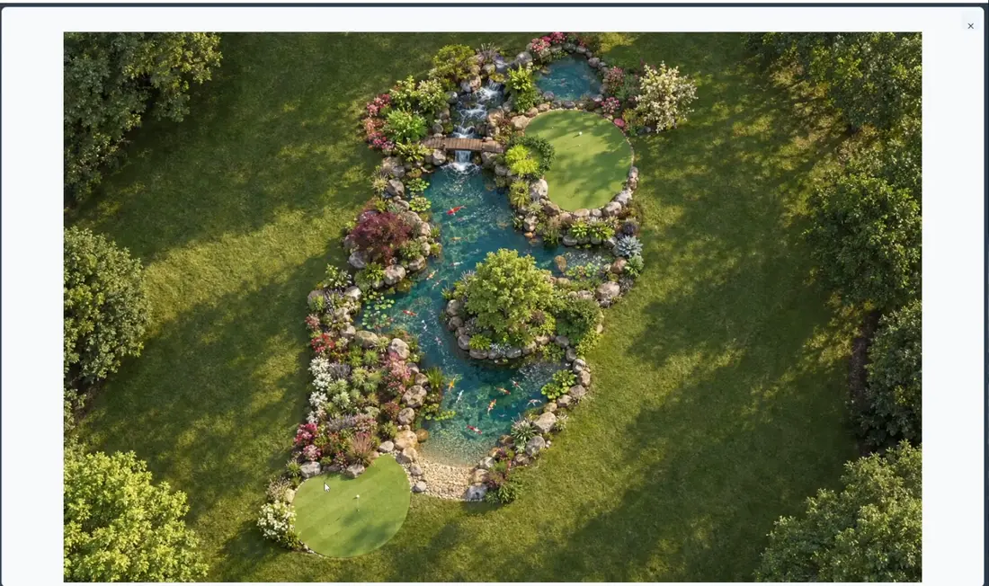
Turn a pond concept drawing into an AI-generated aerial image of the proposed pond, paths and planting in Pond Tools.
0:29